Participants from Bhutan, Bangladesh, and Nepal received hands-on training on the use of GIS and Remote Sensing during a two-day workshop as part of the South Asia Built Water Storage project. Bhutan’s Department of Water organized the event with technical support from the International Water Management Institute (IWMI) and in partnership with GWP South Asia. The workshop took place from August 28 to 29, 2024, in Paro, Bhutan.
The training included the use of Google Earth Engine (GEE), a cloud-based platform for accessing and processing satellite and geospatial data. It covered the fundamentals of GEE, equipping participants with the skills to use methods and protocols developed through the project for mapping surface water bodies and estimating soil moisture, snow, and ice reserves.
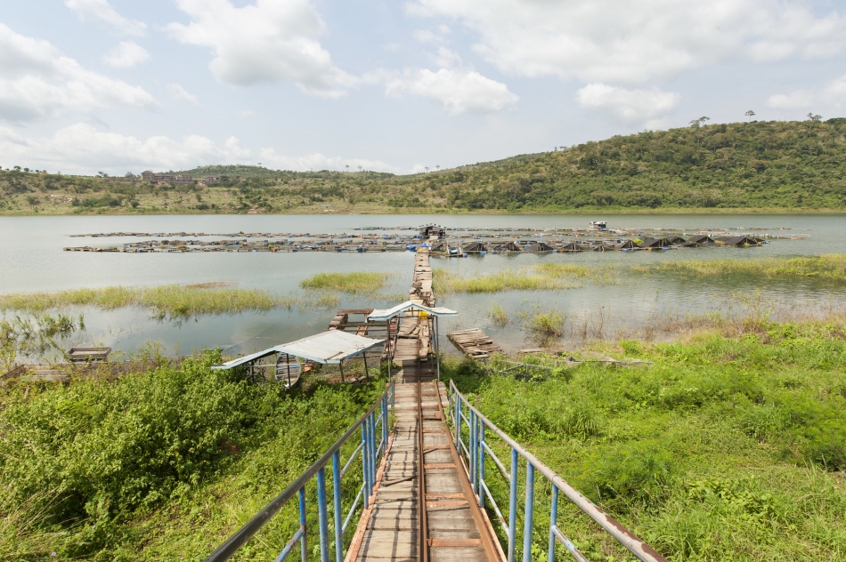
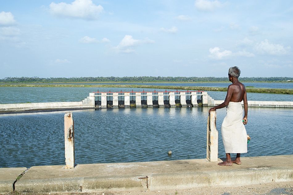
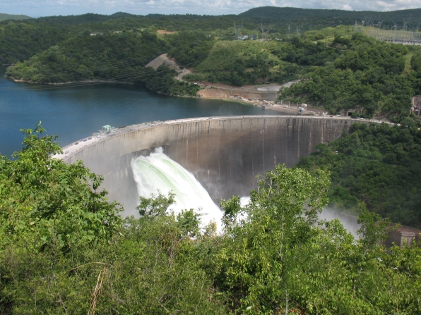
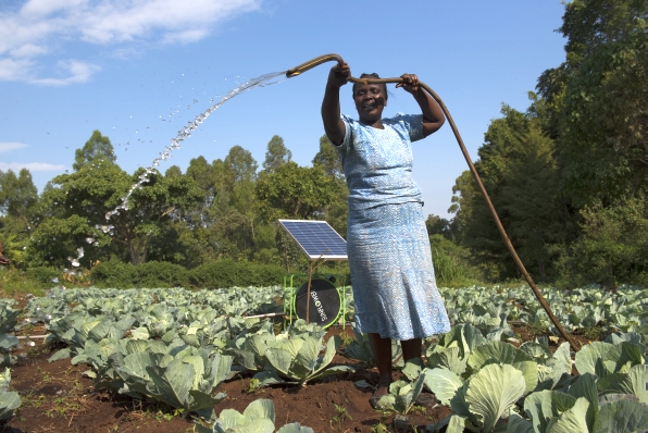
The South Asia Built Water Storage project, funded by the U.S. Department of State, aims to enhance water security by improving the management of integrated natural and human-made water storage systems. A key aspect of the project is regular meetings, held every three months, to address various water storage challenges in the region. Previous meetings have focused on groundwater management, the Water-Energy-Food-Environment (WEFE) Nexus and water resource modeling. In June, a study tour to Uzbekistan’s Fergana Valley provided participants with insights into transboundary water cooperation in Central Asia.

On August 30, the participants visited Bhutan’s National Centre for Hydrology and Meteorology, where they learned about the country’s weather forecasting, flood warning and disaster management systems.


