South Asia to get early-warning system
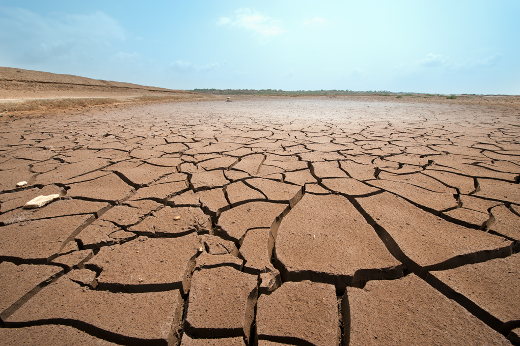
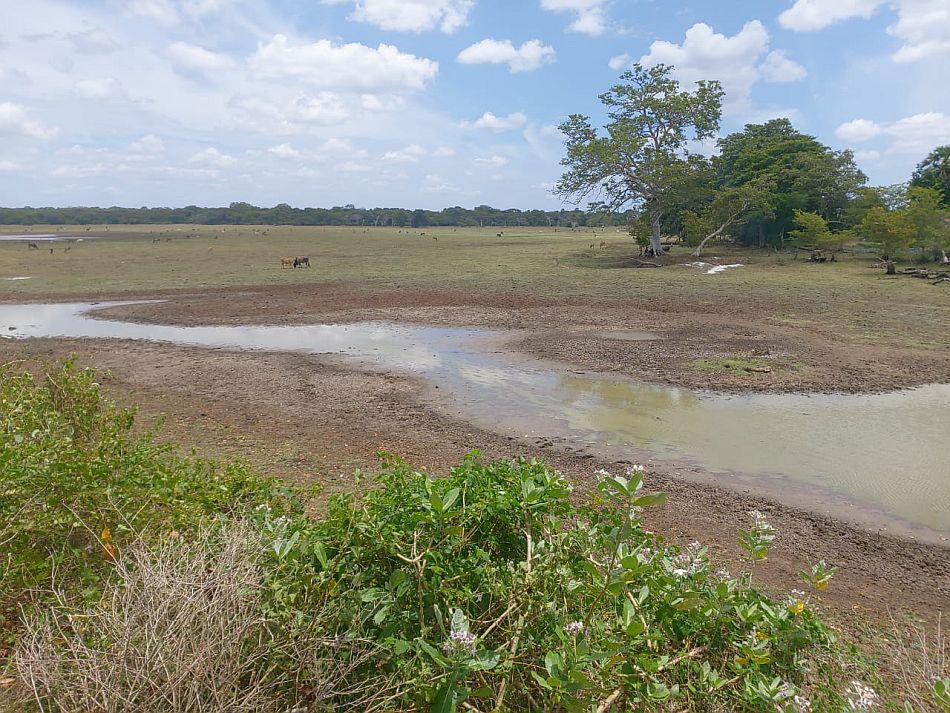
As South Asia braces itself for the prospect of more frequent and severe droughts as a result of climate change, a new hi-tech system promises to help raise the alarm in good time.

The South Asia Drought Monitoring System (SA-DMS) combines satellite images of vegetation with weather data, soil moisture levels and crop yield information. It will help predict the severity of coming dry spells and how long they might last. The system will be launched in 2015.
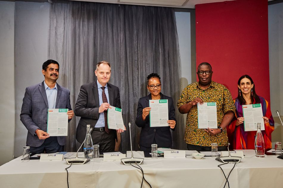
The tool is being developed by a partnership of scientists at the International Water Management Institute (IWMI), Global Water Partnership (GWP) and the World Meteorological Organization (WMO). It is part of the recently launched Integrated Drought Management Program, a joint initiative of GWP and WMO.
“As well as affecting harvests, rising temperatures and more frequent and severe droughts will likely worsen existing competition for water resources,” said Giriraj Amarnath, Researcher – Remote Sensing and Water Resources, IWMI. “The SA-DMS uses all the crucial indicators of impending drought which, when combined, give the clearest idea possible of where a drought could strike and how severe it might be. It means users get advance warning, giving them precious time to react and adapt to the likelihood of a difficult situation.”
The new tool builds upon work to establish a drought monitoring system for Southwest Asia, developed by IWMI in 2006, to illustrate the usability of remote sensing data in near-real time monitoring of drought onset, progression and spatial extent, and help decision makers respond (http://dms.iwmi.org/).
The SA-DMS, designed by IWMI, will be implemented jointly with GWP and WMO in partnership with various end-users, including departments of irrigation and agriculture in the region. The Symbiosis Institute of Geoinformatics will assist in product evaluation and data mining in India. The Birla Institute of Technology and Symbiosis Institute of Geoinformatics will assist in product assimilation, evaluation and data mining in India.
“The obligations we have as developers of the system are to ensure the data are updated and processed as quickly as possible. We also have to ensure there is a reliable system for disseminating the findings to policymakers, the media and farmer organizations in good time,” said Vladimir Smakhtin, Theme Leader – Water Availability, Risk and Resilience, IWMI.
Eventually, the developers hope that national governments will be able to monitor evolving situations independently.


